



Major updates to SIS 9.1
Service release supports customers in gaining deeper insight from data
Significant updates have been made to SIS 9.1. It brings a host of new features, optimisations, and enhancements to SIS Desktop, SIS WebMap and GeognoSIS®, and additional support for Ordnance Survey® (OS) data products.
Enhanced OS data support
The SIS 9.1 service release introduces updates to further support access to the OS National Geographic Database (OS NGD) API – Features within SIS Desktop. This includes the capability to extract Transport Network or Water Network data from the OS Data Hub and seamlessly build a topological network from the returned Link and Node features. Rule-based drawing and Expression evaluations have been significantly improved for Overlays with Themes that contain a large number of ‘rules’ (OS OpenMap – Local, for example), and now draw substantially faster.
Expanded access to OS Data Hub
This release significantly broadens data format compatibility within SIS Desktop. Support has been added for the OS MasterMap™ Topography Layer supplied in the Open Geospatial Consortium (OGC) GeoPackage format accessible from the OS Data Hub. OS NGD Transport Network and Water Network data can also be loaded from OGC GeoPackage files into SIS Desktop, with automatic conversion to a topological network.
Efficient data management and optimisation
With an emphasis on efficient data management, SIS Desktop now offers an OGC Utilities page. This enables users to manage OGC GeoPackage database files, including adding spatial indexes to a database file and merging separate database files into a single new file. A popular application for this new utility will be consolidating multiple files downloaded from the OS Data Hub for simplified data and file management.
More applications and extensions
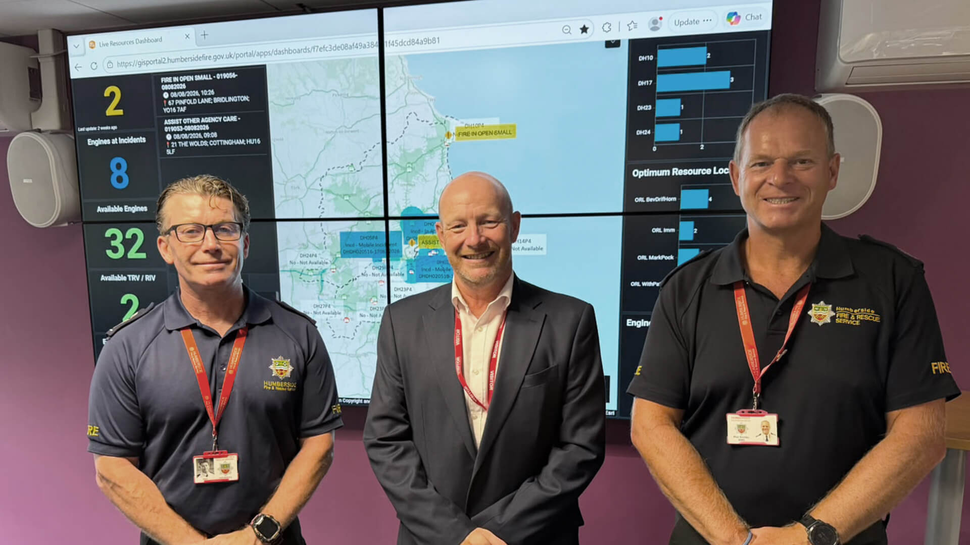
SIS WebMap supports the what3words (w3w) extension which allows the user to zoom to any w3w address, or to click on the map to learn the w3w address for that position. The new release of SIS WebMap for Power BI allows resources within Microsoft Power BI such as point, area and line data to be displayed over background maps with dynamic styling options. A link to an Incident Recording System, popular with UK Fire and Rescue Services, has been updated and allows incident locations to be validated on a map.
Empowering user experience
The service release offers greater flexibility in use, with support for decorated URLs, enabling users to open SIS WebMap using a feature identified by an overlay, a schema column, and a unique reference. In addition, website administrators can implement a flexible “iframe” for embedded maps. The SIS 9.1 service release underscores seamless integration and flexibility by enhancing synchronisation between SIS Desktop, SIS WebMap, and GeognoSIS.
“The SIS 9.1 service release reflects our commitment to providing advanced geospatial solutions that empower our users. These enhancements will help streamline workflows, boost performance, and open new possibilities for utilising spatial data.”
– Martin Daly, NEC Software Solutions
The service release incorporates bug fixes, software updates and performance enhancements.