
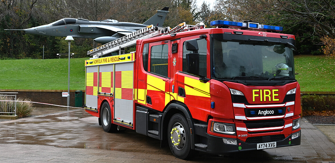
Norfolk Fire and Rescue Service develops latest blue light risk profile with SIS
GIS with integrated emergency services applications
Norfolk Fire and Rescue Service (NFRS) is the latest fire service to select the Geographic Information System (GIS) SIS for resource planning and risk analysis. The software and services package includes SIS Desktop, Workload Modeller, Risk Modeller, and a series of online training courses.
The fire service recognised the need to develop and adapt its risk profile based on the latest available data and methodologies. NFRS selected Cadcorp for its emergency services focused applications, which are widely used by UK fire services for similar initiatives.
As part of the NFRS strategy to maximise efficiency and effectiveness, various datasets, including demographic data, will be integrated into SIS Desktop. Through the implementation of its integrated hot spot mapping functionality, NFRS will visualise where there is risk to property and target services more effectively.
Workload Modeller is a resource planning and performance monitoring application for analysing the impact of demand or resource changes on operational performance. It will be used by NFRS to evaluate resource location and response times following improvements to the county’s highway infrastructure and new housing developments.
Risk Modeller will allow NFRS to further develop its risk analysis. Combining a range of data, including incidents and demographics, the fire service will be able to better target resources for its prevention and protection activities. This includes home fire safety visits for Norfolk residents and its fire safety education programmes for schools. The fire service is currently developing its new Community Risk Management Plan (CRMP) and plans to use Risk Modeller to locate and analyse emergent risk, such as extreme weather events.
“The GIS and fire service modelling applications allow us to incorporate the latest blue light analysis to allocate resources to risk and offer the flexibility we need for effective service delivery and informed stakeholder engagement.”
-Austin Goreham, Head of Planning and Performance, Norfolk Fire and Rescue Service
SIS is used by the majority of UK Fire Services for a wide range of GIS and web mapping applications. The software is instrumental in strategic and operational activities such as resource planning and performance reporting, risk analysis, and command and control.