GIS AND SPATIAL ANALYSIS
Gain deeper insight into data with our extensive range of software, spatial data and services designed to better inform decision-making.
Our family of geospatial software, the Spatial Information System® – SIS – comprises desktop, server, web and developer products. This provides an integrated platform for managing spatial data from creation and analysis to application development, deployment and data sharing.
With our technical knowledge and expertise, we support organisations in realising the benefits of location information.
Find out More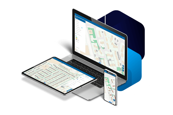
A WIDE RANGE OF ORGANISATIONS BENEFIT FROM GEOSPATIAL SERVICES
A WIDE RANGE OF ORGANISATIONS BENEFIT FROM GEOSPATIAL SERVICES
Organisations in both the public and private sectors are using location to respond to service user needs and meet stakeholder requirements. They are using the power of geographic information in order to be better, faster and more cost-effective in what they do.
We work with public safety, government, housing and land management, energy & infrastructure, and finance & insurance to help them achieve their goals.