Turn Location Data into Actionable Intelligence
When you’re responsible for protecting communities, managing emergencies, or delivering vital public services, location matters. At NEC Software Solutions, we believe geospatial intelligence should be central to how decisions are made. Our GIS Analytics platform brings together the capabilities of xd, xc, xWeb and xmobile —four powerful tools that help organisations visualise, analyse and act on location data in real time.
Whether you’re looking to predict future crime patterns, coordinate resources during a fast-moving incident, or share valuable geospatial insights across your organisation, our integrated GIS platform provides the clarity you need to make confident, informed decisions.
Contact Us Today

xd: Spatial Intelligence That Looks Ahead
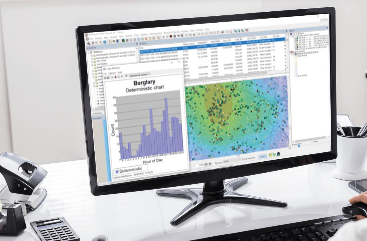
xd: Spatial Intelligence That Looks Ahead
xd is our advanced spatial analytics solution, helping you understand historic trends and predict future demand with precision. By visualising crime patterns, resource availability and community data through powerful tools like Choropleth and Hotspot Analysis, xd gives you the insight needed to make smarter, data-driven decisions. It integrates seamlessly with xc and xWeb to provide a single source of geospatial truth across your organisation.
xc: Real-Time Awareness in the Control Room
xc gives control room teams real-time situational awareness with live mapping, intelligent resource tracking, and incident replay capabilities. Instantly see where your officers are, pinpoint caller locations with what3words and EISEC integration, and route the right resources faster using dynamic mapping and traffic data. xc supports faster, more confident decision-making when every second counts.

xWeb: Geospatial Access for Everyone
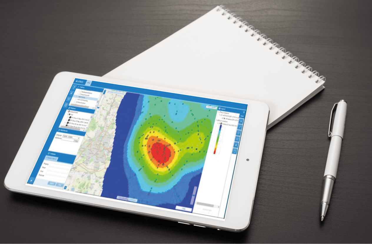
xWeb: Geospatial Access for Everyone
xWeb makes specialist geospatial data accessible across your organisation through a browser-based interface that’s intuitive, secure and easy to use. It brings together data from xd and xc, enabling teams to view live incidents, resource locations, and key intelligence without needing complex tools—empowering better decisions on the ground and in the office.
xMobile: GIS in the Hands of Frontline Officers
xMobile brings the power of GIS to the frontline, allowing operational officers to view and interact with live mapping data directly from their Android device. Officers can drop geo-accurate pins, record GPS tracks, and access shared incident data—even offline—all while staying aligned with control room and analytical teams through Universe integration. It’s a spatial notebook built for the realities of policing on the move.