





How location data can transform Awaab’s Law management
-
Gary Randle ·
- · 18 August 2026 ·
- Articles
As Awaab’s Law places stricter responsibilities on social landlords to investigate damp and mould, and both emergency and significant hazards within defined timescales, housing providers are under increasing pressure to move beyond reactive repairs and adopt a more proactive, evidence-led approach. Technology will play a critical role, but one capability is often overlooked: location intelligence.
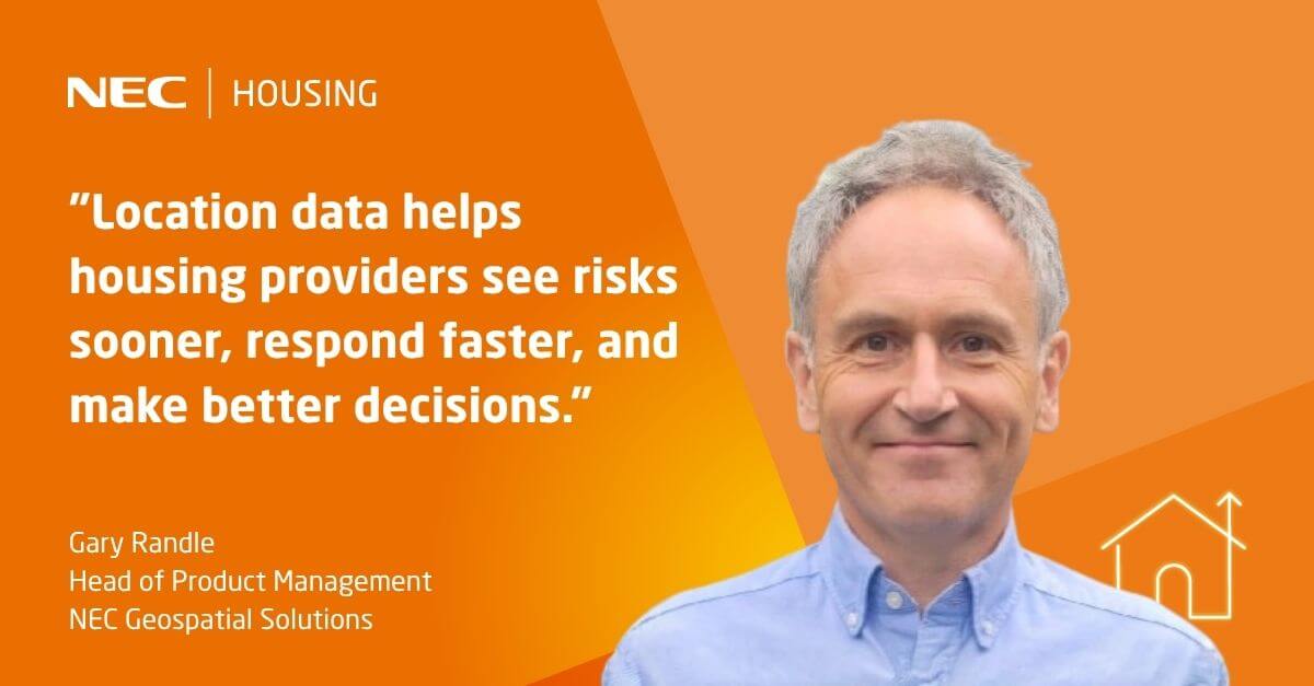
As Awaab’s Law places stricter responsibilities on social landlords to investigate damp and mould, and both emergency and significant hazards within defined timescales, housing providers are under increasing pressure to move beyond reactive repairs and adopt a more proactive, evidence-led approach. Technology will play a critical role, but one capability is often overlooked: location intelligence.
By combining housing data with geospatial technology, landlords can gain a deeper understanding of where risks exist, why they occur, and how to prioritise interventions before residents are affected.
Seeing the bigger picture
Most housing providers already hold a wealth of information about their homes, repairs, residents and neighbourhoods.
Geospatial technology enhances this by bringing data together on an interactive map. When repairs history, property attributes, stock condition surveys, environmental data and resident vulnerability information are visualised geographically, trends that would otherwise remain hidden become immediately visible.
For example, a housing team may discover clusters of damp and mould cases occurring in a particular estate, building type or geographic area. Rather than treating each report as an isolated incident, they can investigate potential root causes affecting multiple properties at once.
Moving from reactive to predictive
Many systems focus on the value of sensors and IoT (internet of things) monitoring to detect humidity, temperature and ventilation issues within individual issues. While these technologies are important, they only tell part of the story.
The real opportunity lies in combining environmental monitoring data with location intelligence.
By mapping sensor data across an entire housing portfolio, landlords can identify geographical hotspots where conditions are consistently deteriorating. This enables teams to move from responding to reported issues towards predicting where future problems are likely to occur.
Imagine being able to identify a group of properties at increased risk because they share:
- Similar construction methods
- Comparable energy efficiency ratings
- Exposure to prevailing weather conditions
- Historic damp and mould incidents
- Known ventilation or insulation challenges
This allows preventative inspections and remediation programmes to be targeted where they will have the greatest impact.

A view of damp & mould risk using NEC Geospatial Solutions
Supporting compliance and evidence
Awaab’s Law is not just about fixing issues quickly but about demonstrating that the correct actions were taken within the required timescales. Government guidance places strong emphasis on investigation, record keeping, communication and accountability.
Geospatial systems can provide a clear visual audit trail by linking complaints, inspections, photographs, repair orders and contractor activity to individual properties and locations.
When a regulator, auditor or Ombudsman requests evidence, housing providers can quickly demonstrate:
- Where issues were reported
- When inspections took place
- What remedial actions were completed
- Whether wider stock risks were assessed
- How resident communication was managed
This supports the sector’s growing focus on knowledge, information and management (KIM) and helps organisations remain compliant while improving service delivery.
Understanding environmental risk
One area where location intelligence can provide significant value is understanding external risk factors.
Mapping can reveal relationships between damp and mould cases and external influences such as flood risk, topography, building orientation, surrounding vegetation, exposure to weather conditions and local environmental factors. GIS solutions are already being used by housing providers to assess flood risk, stock condition and maintenance requirements.
This insight enables more informed long-term investment decisions, helping landlords target improvements such as insulation, ventilation upgrades and energy efficiency measures where they are most needed.
A smarter approach to safer homes
The housing sector is rightly focused on meeting the operational requirements of Awaab’s Law. However, compliance alone should not be the end goal.
By using NEC Geospatial Solutions’ location intelligence expertise, housing providers can move beyond reactive case management towards a preventative strategy that identifies risk earlier, targets resources more effectively and delivers better outcomes for residents.