Data‑driven insight for resource modelling, risk analysis, and dynamic cover
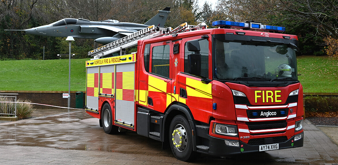
Spatial information is a vital strategic and operational resource for helping police, fire, ambulance, and other rescue services operate effectively. It is used extensively by emergency services for protection, prevention, and response.
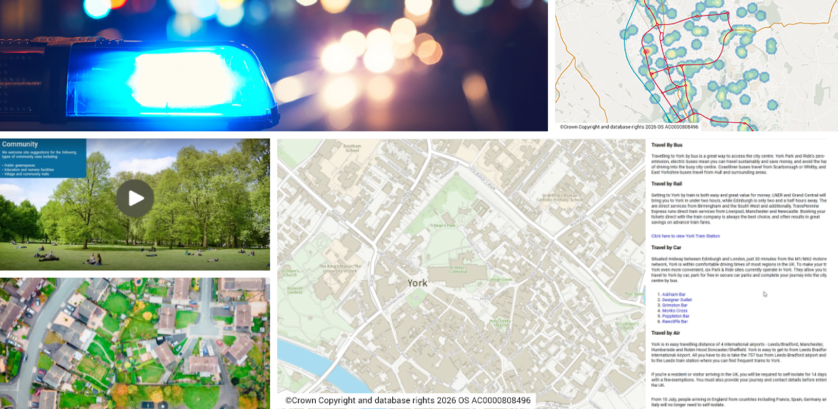
GIS, spatial data, and analytics are powerful tools for understanding public health services and providing insight into the distribution of resources. From routing analysis for facilitating emergency response and patient travel, to combining population and demographic data to identify service gaps, NEC works with emergency services to create solutions that allow them to improve services and optimise operations.
Find out More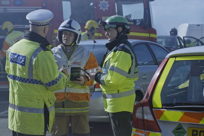
Geospatial Software and Services for Public Safety
RELATED INSIGHTS